The hydrogeomorphological cartographic method is a method for mapping alluvial floodplains using geomorphological surveys and aerial photography. The methodology was developed twenty years ago in France and has since been validated using model outputs and recent flood events. It is now one of three recommended methods by the French government to characterize flood risk. It has been widely applied in France and abroad (Africa, Asia etc) over 20,000 km of river. Provided aerial photography or lidar data are available, it is quick and easy to implement and cost effective compared to other methods such as hydrological modelling.
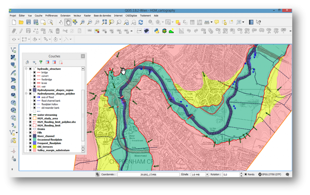
In the UK, we applied the methodology to the river Avon in Chippenham and compared it to outputs from hydraulic flood models and historic data analysis. The floodpain identified by the method included all historic flood events on record and corresponded to a modelled 1 in 500/1000 year flood (click here for the full results).
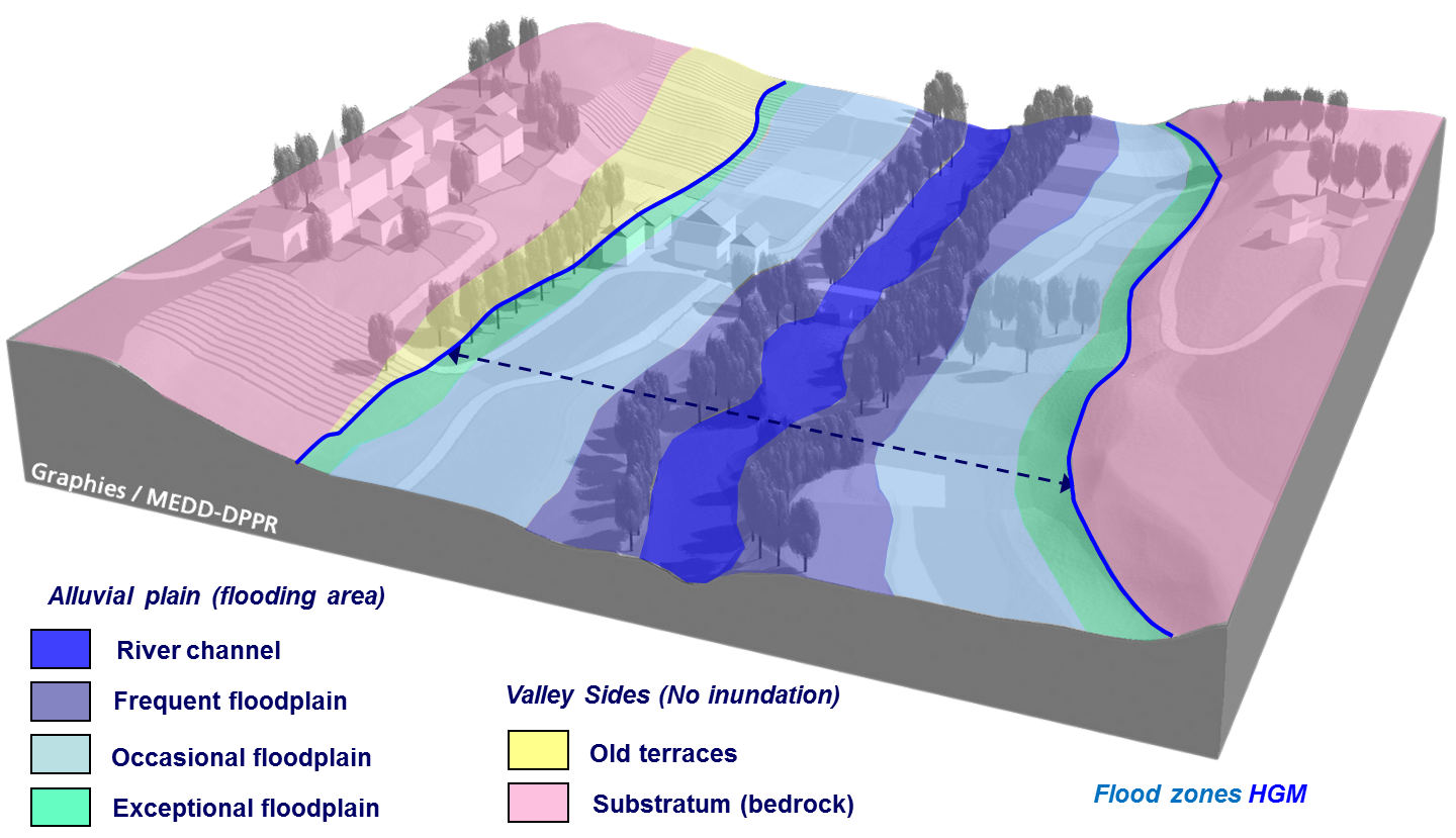
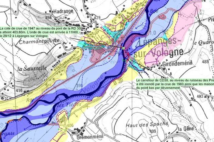
The aim of the methodology is to delineate floodplain boundaries using morphological features (e.g. existing and old terraces) so as to identify areas likely to be flooded by increasing flood events (from frequent to rare and exceptional floods).
The analyses are performed in two stages:
– Stereoscopic aerial photography (recent or old) or Lidar data taken outside major flood events are analysed by experts to enable a first delineation of floodplain boundaries.
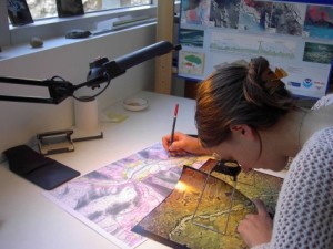
– The resulting map is then refined during a field survey by expert geomorphologists using additional morphological elements such as the size of sediments, the vegetation structure, land use and evidence of old and recent activity (erosion, deposition).
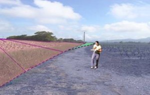
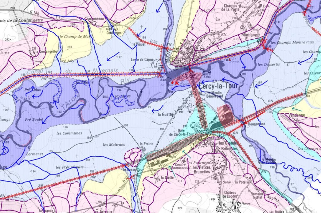
The technique enables the delineation of floodplain boundaries at reach or river-valley scale and the identification of vulnerable areas such as urban dwellings or industrial development sites.
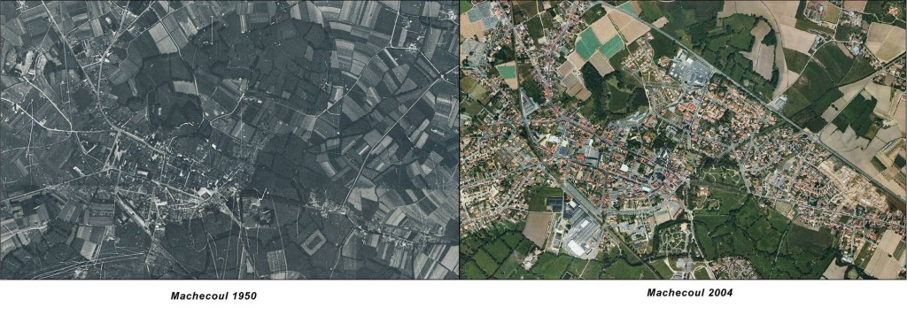
In urban areas where morphological structures are more difficult to assess, photo interpretation is carried out using a diachronic analysis (comparison with old aerial photographs) and an in-depth field survey taking account of runoff patterns and the influence of existing structures and modifications on flow.
Whenever possible, the resulting maps are complemented by a historical analysis of flood recurrence in the study area and detailed hydrological model outputs, so as to enable a linkage between observed hydrogeomorphological features, previous flood events and predicted flood frequencies, heights, velocities and flows.
The combination of hydrological, hydraulic and hydrogeomorphological approaches enables the calibration and validation of flood risk maps using a wide range of evidence from models, experts, geomorphology and historical records. Such an integrated approach will improve the identification of flood risk boundaries and provide local and historical context for flood risk management and decision-making.
Case studies:
Mapping flood boundaries for the river Avon in Chippenham
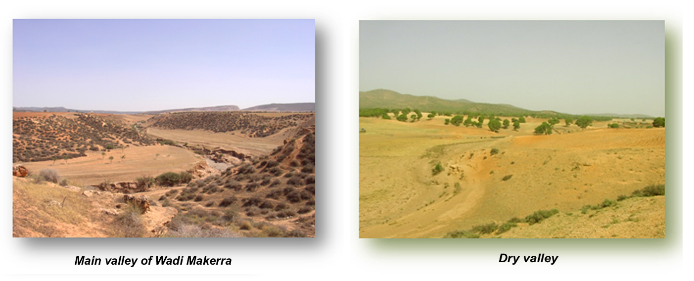
Hydrogeomorphological assessment of a wadi in Algeria
For more information on the technique and application, dowload the pdf version of the method and application here.


You must be logged in to post a comment.